
GIS Mapping & Spatial Data Solutions
High-quality geospatial services that support the complete project lifecycle—from digitization to spatial analysis and final map production.
High-quality geospatial services that support the complete project lifecycle—from digitization to spatial analysis and final map production.
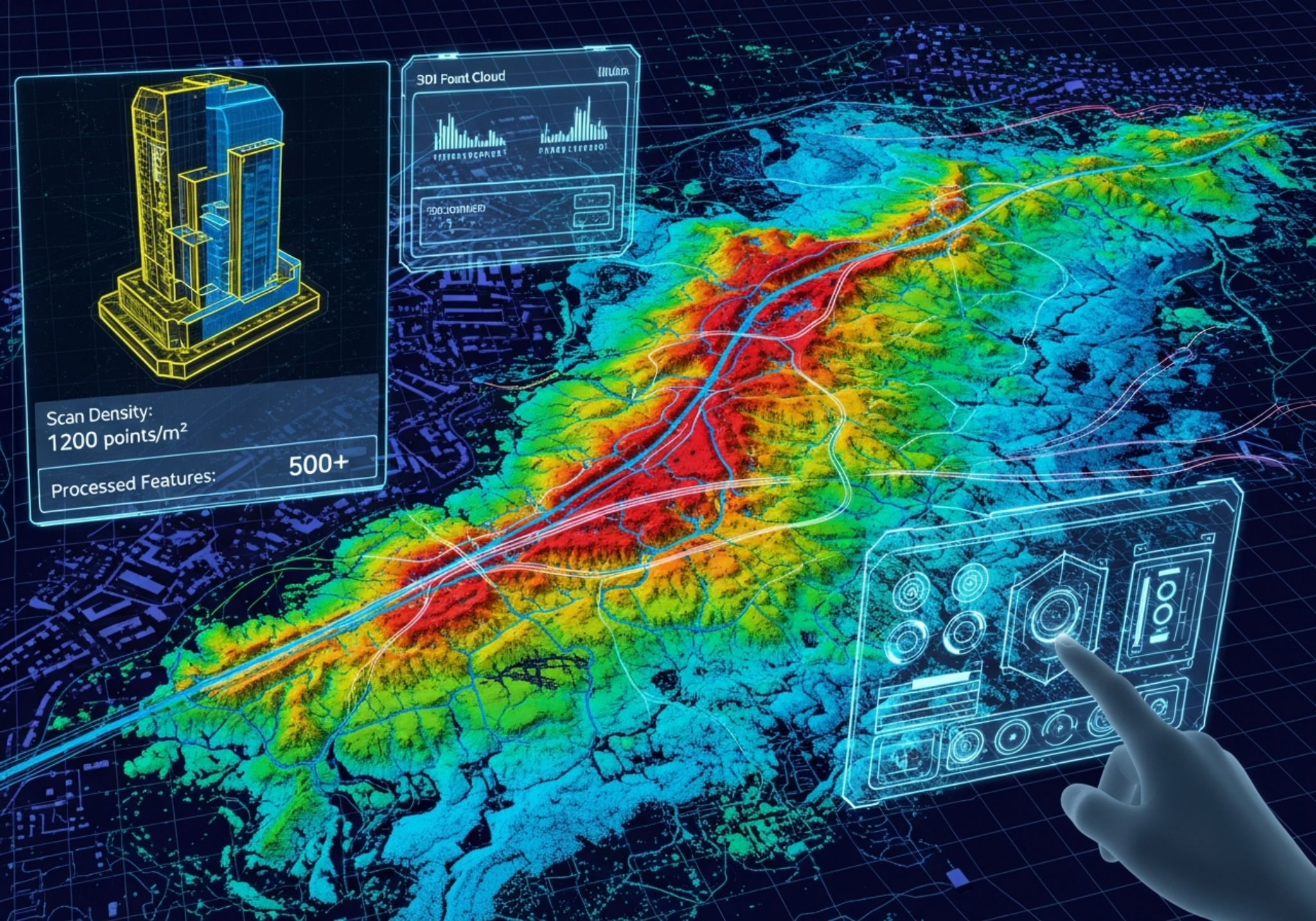
Accurate, structured, and actionable geospatial datasets from raw point cloud data for infrastructure, telecom, and mapping projects.

Accurate, construction-ready designs from feasibility and route planning to detailed drawings and as-built documentation.
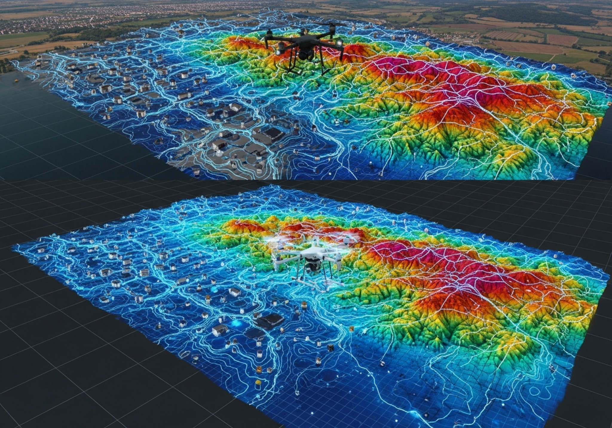
Advanced photogrammetry outputs including orthophotos, 3D models, surfaces, and map-ready geospatial products.

Reliable BIM models from laser scan and point cloud data for architecture, engineering, and construction workflows.

Drone image workflows and terrain intelligence outputs for infrastructure planning, monitoring, and analysis.